
Loading…
No Records Found
Sorry, no records were found. Please adjust your search criteria and try again.
Maps failed to load
Sorry, unable to load the Maps API.
Hiking Trail
Favorite
A long, strenuous loop descending well below the rim, seeing far fewer crowds than Navajo Loop while passing just as
Hiking Trail
Favorite
An easy trail tracing the rim of the amphitheater between viewpoints, flat enough to walk in short sections between shuttle
Hiking Trail
Favorite
A longer descent into the amphitheater via Bryce Point, popular but generally less crowded than Navajo Loop — often combined
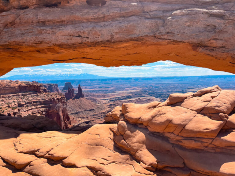
A short, easy, hugely popular loop to Mesa Arch, famous for the way sunrise light glows through the underside of
Hiking Trail
Favorite
The steep, unmaintained inner-canyon route down to the Gunnison River — genuine wilderness hiking requiring a free permit, real scrambling,
Hiking Trail
Favorite
A North Rim hike climbing toward Green Mountain, with a shorter overlook option about a third of the way in
Hiking Trail
Favorite
The most popular way down into the Bryce amphitheater — a steep switchback trail past towering hoodoos including Thor’s Hammer,
Hiking Trail
Favorite
An easy interpretive walk at the end of South Rim Road, ending at one of the most panoramic overlooks in
Hiking Trail
Favorite
A very short walk near the North Rim ranger station to one of the most dramatic, narrowest overlooks of the
Hiking Trail
Favorite
A quieter, longer North Rim hike through open meadow and forest to a canyon overlook, seeing far fewer visitors than